Shandong Fengtu IOT Technology Co., Ltd
Sales Manager:Ms. Emily Wang
Cel,Whatsapp,Wechat:+86 15898932201
Email:info@fengtutec.com
Add:No. 155 Optoelectronic Industry Accelerator, Gaoxin District, Weifang, Shandong, China


Sales Manager:Ms. Emily Wang
Cel,Whatsapp,Wechat:+86 15898932201
Email:info@fengtutec.com
Add:No. 155 Optoelectronic Industry Accelerator, Gaoxin District, Weifang, Shandong, China

Model:FT-TK1S
Brand:fengtu
1.Automatic Total Sky Imager Product Overview
The Automatic Total Sky Imager uses a high-precision fisheye lens to automatically record the cloud distribution in the sky without a sunshade and in direct sunlight, saving a picture of the cloud distribution in the sky. The protective glass uses a hard coated dome to protect the lens from weather and prevent the sun from damaging the CCD measuring element.
The equipment is easy to install and fully modular, the equipment can be equipped with ventilation and heating devices, and the imaging device will not be affected by weather changes. Analyze clear sky, hemispherical cloud cover, thick clouds and thin clouds, cloud cover by horizon and artificial horizon above cloud cover.
The cloud base height software provides the possibility to evaluate the cloud height and data (latitude, longitude and altitude) in real time on site and store them with each individual CMS image. This product has a dynamic analysis function, which can clearly record the cloud shape and cloud amount distribution in the sky during the day, and automatically save it to the local machine for comparison and analysis, or upload it to the cloud to identify cloud information through AI algorithms. It can be widely used in meteorology, civil aviation, transportation, marine research, smart cities and other fields.
The imager has a wide viewing angle of 175° and a high-resolution sensor, which can automatically record cloud information throughout the sky and convert it into quantitative cloud information through advanced cloud detection algorithms in the software. The imager can be connected to the Internet through a standard network card and transmit data to a server or monitoring computer through the network.
The imager control software integrates a horizon determination tool to provide users with flexibility and functional needs. For example, the software can be used to set the zenith angle range, ground object shielding area or user's area of interest to avoid the influence of inherent shielding around the station on the observation results. The imager also has good waterproof function.
2. Features of Automatic Total Sky Imager
1.5 megapixel fisheye camera, real-time image acquisition
2. External TRH sensor
3. Maximum output image resolution 2560×1920 30fps
4. No sun blocking device, effectively record the cloud information of the whole sky
5. Built-in computer host, no need to install additional workstation
6. Can be connected to the network, remotely operated and monitored through the terminal, and can access various cloud platforms
7. Low power consumption, small size, light weight, easy to install in the field
8. With waterproof function, it can be used for all-weather observation
3. Automatic Total Sky Imager Technical Specifications
| Technical Parameters | Measuring range |
| Sensor Technology | 5 million pixels, high-quality CMOS photosensitive module |
| Operation requirements | Full-day work |
| Visible light pixels | ≥1 million |
| Detection wavelength | 8~14μm |
| Use resolution | 50Hz: 25fps (2560×1920, 2048 ×1536, 1280×960) 60Hz: 30fps (2560×1920, 2048×1536, 1280×960) |
| Lenses type | Fisheye prime lens |
| Field of view FOV | Horizontal field of view: 180°, vertical field of view: 180° |
| Storage function | Supports Micro SD/SDHC/SDXC card (128G) offline local storage, NAS (NFS, SMB/CIFS are all supported) |
| Interface Protocol | ONVIF (PROFILES, PROFILEG), PSIA, CGI, ISAPI |
| Network Protocol | TCP/IP, UDP, ARP, ICMP, HTTP, HTTPS, FTP, DHCP, DNS, DDNS, RTP, RTSP, RTCP, PPPoE, NTP, UPnP, SMTP, SNMP, IGMP, 802.1X, QoS, IPv6, Bonjour |
| Communication interface | Ethernet RJ45, wireless network WIFI |
| Safe Mode | 64/128-bit WEP, WPA/WPA2, WPA-PSK/WPA2-PSK, WPS |
| File upload | Jpg images can be uploaded to HTTP, SMTP, FTP, NAS server |
| Data Output | Light cloud amount, heavy cloud amount, total cloud amount and sun position |
| Work Environment | Temperature -10℃~40℃, humidity <95% (no condensation) |
| Working power supply | DC12V±25%//PoE (802.3af) |
| Product power consumption | 6.7W MAX |
| Product size | 160×160×187(mm), mounting seat φ50/52mm |
| Protection level | IP67 |
| Product Weight | 1.9Kg |
| Product accessories | Mounting bracket, platform, 10m power cord |
The fall armyworm, also known as the autumn armyworm, is an agricultural pest native to the tropical and subtropical regions of the Americas. The adult has a wingspan of 32 - 40 mm. The forewings are gray to dark brown, and the hindwings are white with a narrow brown band along the edge. The larvae...
The pecan industry in Lin'an has encountered numerous troubles in the face of meteorological disasters, and the "violent plum rain" in 2024 was a severe test. The prolonged overcast and rainy weather inhibited the photosynthesis of pecan trees, hindered their flowering, pollination and...
This article introduces two Portable Weather Stations: the Handheld Weather Station FT-SQ11 and the Portable Weather Station FT-BQX8 with a tripod.Handheld Weather Station FT-SQ11The FT-SQ11 is compact and lightweight, measuring 37020880mm and weighing only 363.2g for effortless portability. Its 3.5...
In traditional visibility observation, meteorological personnel determine the visibility by judging the furthest visible and the nearest invisible target objects. A target object distribution map is drawn in an area with a wide view around the meteorological station. Target objects of moderate size,...


 Get a Free Quote
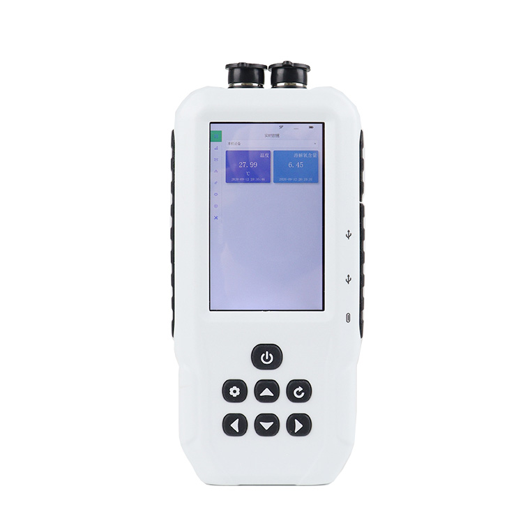

 Skype
Skype
 whatsapp
 mail
mail