Shandong Fengtu IOT Technology Co., Ltd
Sales Manager:Ms. Emily Wang
Cel,Whatsapp,Wechat:+86 15898932201
Email:info@fengtutec.com
Add:No. 155 Optoelectronic Industry Accelerator, Gaoxin District, Weifang, Shandong, China


Sales Manager:Ms. Emily Wang
Cel,Whatsapp,Wechat:+86 15898932201
Email:info@fengtutec.com
Add:No. 155 Optoelectronic Industry Accelerator, Gaoxin District, Weifang, Shandong, China
time:2025-09-16 09:44:57 source:Weather Station viewed:423 time
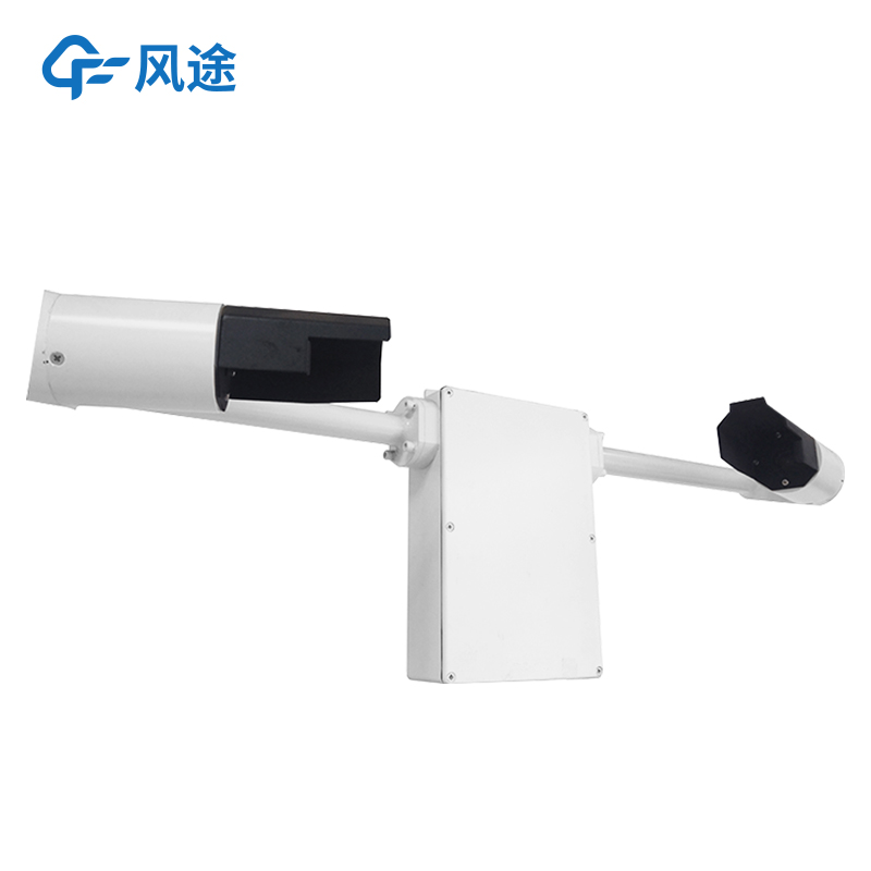
Atmospheric visibility refers to the maximum horizontal ground distance at which a person with normal vision can clearly see the outline of a target under current weather conditions. As a crucial basis for judging atmospheric environmental conditions, it directly influences our assessments of atmospheric transparency and pollutant distribution. Whether in meteorological monitoring, environmental evaluation, or other scenarios requiring clear visibility, accurate visibility data is indispensable for obtaining precise results. The Atmospheric Visibility Sensor is a device specifically designed to collect such data. With stable performance and reliable measurement results, it has now become the primary tool for acquiring visibility data.
Let’s further explore its working principle. The structural design of this measuring instrument is entirely oriented toward more accurate visibility detection. It is equipped with a stable-performance light-emitting device and a highly sensitive light-receiving device, operating on the principle of 35° forward scattering. When the instrument is in operation, the light-emitting device emits infrared light of a specific wavelength stably at a fixed frequency and intensity. As this infrared light propagates in the air, it passes through a pre-defined fixed-volume air region within the instrument—this region is strictly calibrated to truly reflect the surrounding air conditions.
When the infrared light travels through this region, if it encounters suspended particles in the air (such as dust, pollen), aerosol particles (like fine particles from industrial emissions), or substances such as fog droplets and raindrops, it interacts with them, causing a scattering phenomenon: the infrared light that originally travels in a straight line changes direction and becomes scattered light. Subsequently, the light-receiving device, which forms a 35° angle with the light-emitting device, accurately captures this scattered infrared light. The high-precision detection system inside the instrument analyzes and calculates the intensity of the received scattered light in real time. Through a pre-set algorithm model, it correlates the scattered light intensity with the visibility distance: generally, the stronger the scattered light, the more particles there are in the air, the less transparent the atmosphere, and the shorter the visibility distance; conversely, the longer the visibility distance. Ultimately, the actual current visibility distance can be accurately calculated.
In addition, this instrument is capable of continuous visibility measurement and real-time result output, eliminating the intermittency of manual measurement and avoiding deviations caused by human judgment.
In meteorological observation work, visibility is a key element. It intuitively reflects the transparency of the atmosphere and is related to many fields such as traffic travel, aviation and shipping safety. Briefly speaking, visibility refers to the maximum distance at which a person with normal vi...
During the highway construction process, various types of pollution will be generated, among which PM pollution is particularly prominent. In the operations of earthwork filling and excavation, transportation and mixing of road construction materials, asphalt heating and mixing, paving during the pa...
An Atmospheric Visibility Sensor is a professional meteorological instrument used to quantify atmospheric transparency. It provides precise visibility data by measuring the degree of light attenuation within a specific range. In fields such as traffic management, meteorological observation, and envi...
Lightning monitor monitors and warns of lightning activity by measuring changes in the ground's electrostatic field strength. Based on the field-milling induction principle, its measurement range covers -100kV/m to 100kV/m, with a response time of 3 seconds. It is suitable for continuous m...


 Skype
Skype
 whatsapp
 mail
mail