Shandong Fengtu IOT Technology Co., Ltd
Sales Manager:Ms. Emily Wang
Cel,Whatsapp,Wechat:+86 15898932201
Email:info@fengtutec.com
Add:No. 155 Optoelectronic Industry Accelerator, Gaoxin District, Weifang, Shandong, China


Sales Manager:Ms. Emily Wang
Cel,Whatsapp,Wechat:+86 15898932201
Email:info@fengtutec.com
Add:No. 155 Optoelectronic Industry Accelerator, Gaoxin District, Weifang, Shandong, China
time:2025-10-10 09:55:16 source:Weather Station viewed:437 time
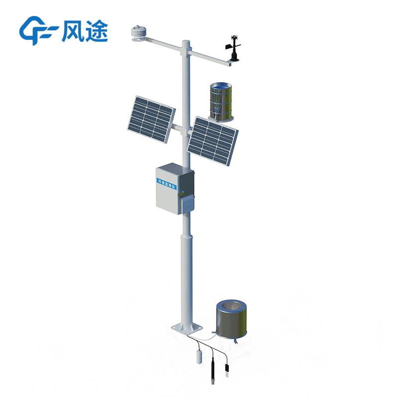
An Automatic Farmland Weather Station is an agricultural management system based on information technology. It continuously collects environmental data from agricultural production sites and provides decision support for production management through data analysis.
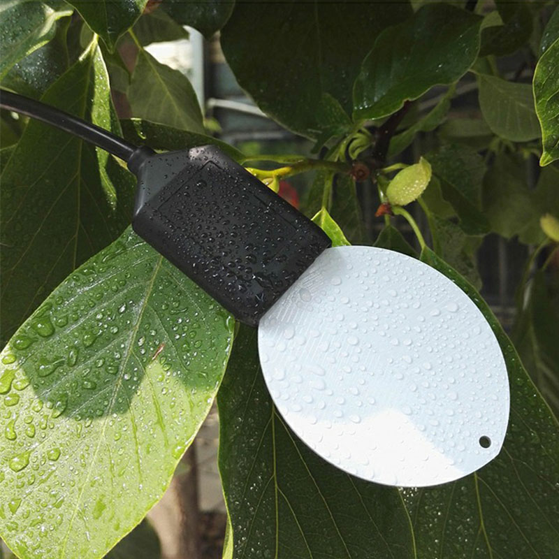
The system uses a sensor network to continuously measure major environmental parameters such as air and soil temperature, humidity, light intensity, rainfall, wind speed, soil pH, salinity, and carbon dioxide concentration.
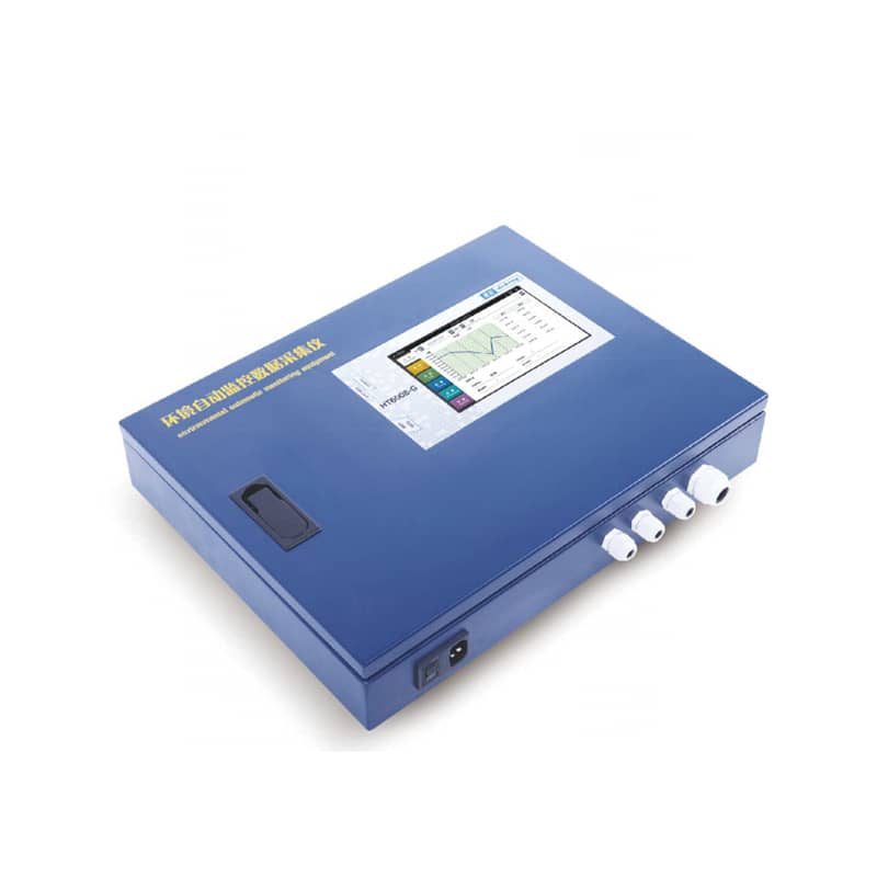
Users can remotely access the system via computers or mobile devices to view current and historical environmental data. This data is typically presented clearly in the form of numbers, graphs, or charts.
Users can set safety thresholds for various environmental parameters. Once the system detects data exceeding the preset range, it automatically sends alert messages to users, indicating potential risks.
The system records long-term environmental data, allowing users to analyze the relationship between crop growth and the environment. This enables more scientific decisions regarding irrigation, fertilization, pest control, and other aspects of farming.
Irrigation is implemented based on accurate soil moisture data, and fertilization is precisely applied based on soil fertility data, effectively reducing water and fertilizer usage.
Furthermore, automated monitoring replaces the need for manual and frequent on-site data recording and inspection, reducing reliance on human resources.
The system can also promptly identify environmental conditions that may lead to disasters (such as frost, drought, and disease), giving users time to take preventive measures.
This system is suitable for agricultural production areas requiring sophisticated environmental management, such as:
Large-scale farmland, used to guide water-saving irrigation and disaster prevention
Greenhouses with strict environmental requirements, used to regulate temperature, light, water, and air
Orchards and tea plantations, used to monitor microclimate and prevent pests and diseases
On the stage of nature, agriculture and meteorology are an inseparable pair of dancing partners. The growth, development, yield, and quality of agricultural crops are all directly affected by the weather. Temperature, light, and moisture, these three meteorological elements, constitute the cornersto...
Traditional visibility detection equipment is often limited by fixed installation positions, posing many inconveniences for visibility monitoring in complex terrains, large-area regions, and special mission environments. However, UAVs (unmanned aerial vehicles) offer unique advantages such as flexib...
Soil moisture monitoring system can continuously monitor soil moisture for a long time. Users can install soil moisture sensors at different locations and depths according to their needs. The system also supports the addition of other sensors for measuring soil temperature, conductivity, pH, as well...
Agrometeorological stations are small automatic weather stations deployed in farmlands, orchards, greenhouses and other areas. They automatically monitor climate and environmental factors closely related to agricultural production activities, helping farmers and researchers grasp field environmental...


 Skype
Skype
 whatsapp
 mail
mail